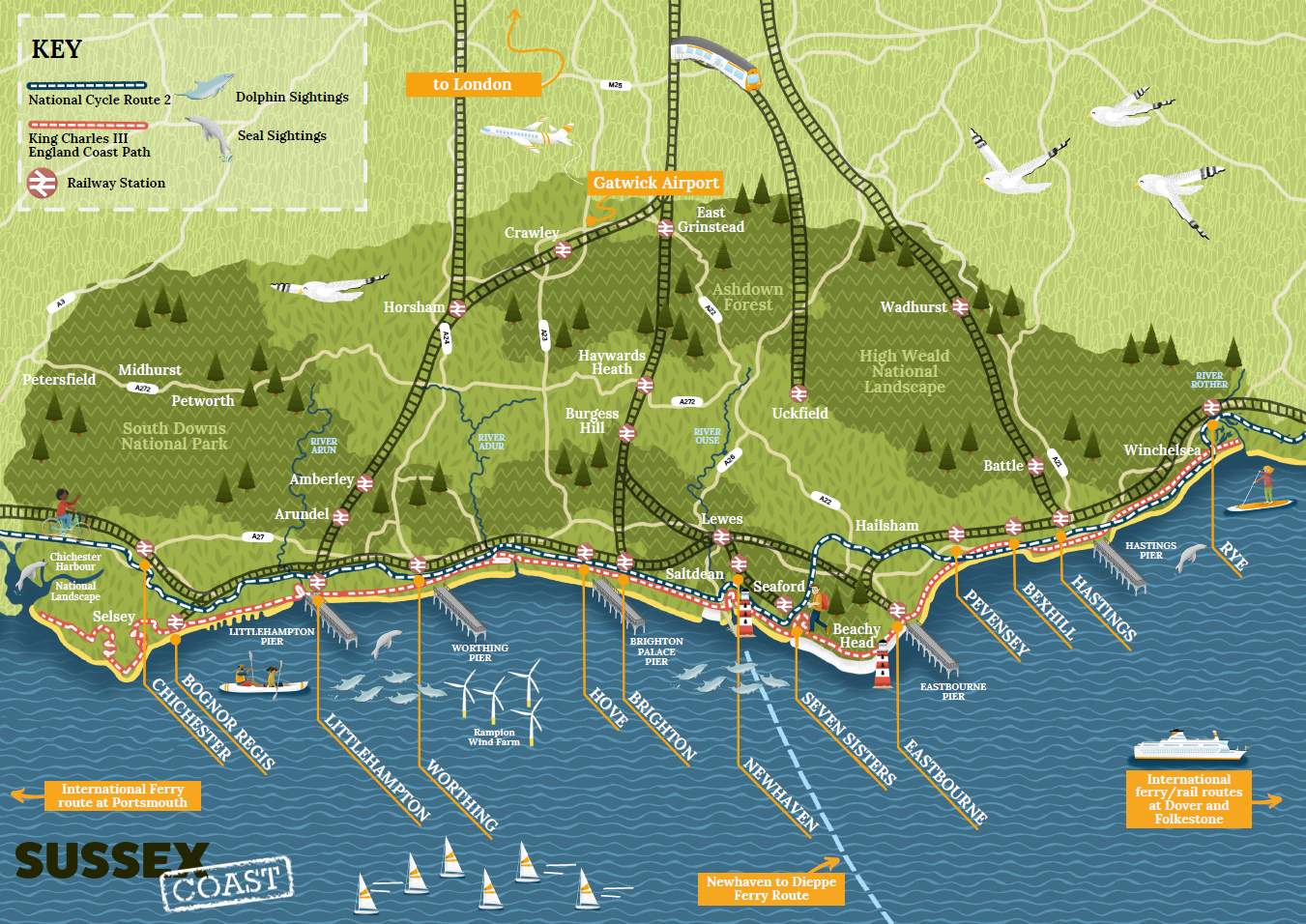
Sussex is a county of incredible geographic contrast, offering everything from ancient woodland ridges to dramatic chalk downland. As we celebrate major heritage milestones across the region, there has never been a better time to lace up your boots.
Here a selection of fine walks across East and West Sussex that tie into our rich local history, along with tips on how to navigate them safely using modern mobile mapping.
East Sussex: Literary Footsteps, Ancient Ridges, and Norman Heritage
The High Weald National Landscape is currently under the spotlight as we mark the 100th Birthday of Winnie-the-Pooh. To walk in the footsteps of A.A. Milne, head straight to Ashdown Forest. The iconic Ashdown Forest Pooh Walk is an absolute delight, taking you through the enchanting landscapes that inspired the Hundred Acre Wood, including the famous Pooh Sticks Bridge.

A.A Milne Memorial in Ashdown Forest
Further east, preparations are already underway for the international Year of the Normans. To immerse yourself in the landscape of 1066, the historic town of Battle is the perfect starting hub. Following sections of the 1066 Country Walk allows you to skirt the edges of Battle Abbey, tracing the ancient paths where English history was permanently reshaped.

The gatehouse, Battle Abbey
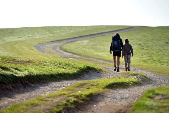
For those seeking dramatic elevations, Ditchling Beacon offers one of the highest points in East Sussex. This ancient hill fort site provides unparalleled, 360-degree views stretching across the Weald and down towards the South Coast, making it a classic ridge walk for any keen hiker.

View from Ditchling Beacon




West Sussex: Breathtaking Downland, Rewilding Pioneers, and Ancient Forests
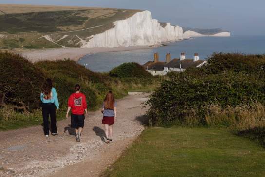
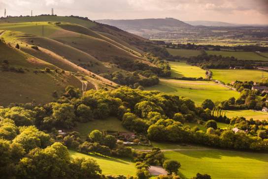
In West Sussex, the South Downs offers some of the most breathtaking topography in Southern England. Avoiding the busy coast, the deep V-shaped valley at Devil's Dyke provides an astonishing panoramic view over the Weald. The downland loops here offer crisp air and magnificent ridge walking without the coastal congestion.

Devil’s Dyke - view from north east
For a completely unique wildlife encounter, head toward Horsham and the pioneering Knepp Castle Estate. Walking the public rights of way through this world-famous rewilding project brings you face-to-face with free-roaming cattle, ponies, and deer, offering a glimpse into a completely natural landscape.
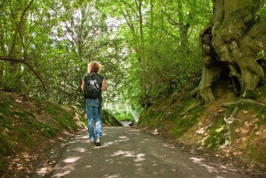
Further west near Chichester lies Kingley Vale, home to one of Europe's finest yew forests. Walking among these twisted, ancient trees—some of which are estimated to be over 1,000 years old—feels like stepping back into prehistory, culminating in a climb to the historic Bronze Age barrows at the summit.

Looking Down Kingley Vale
Navigating Safely when walking in the countryside
While exploring the dense woodlands of the High Weald National Landscape or the open ridges of the South Downs National Park, traditional mobile phone signals can occasionally become unreliable. Relying on basic mapping apps can often lead walkers off the official rights of way, which can disturb fragile habitats and local livestock.
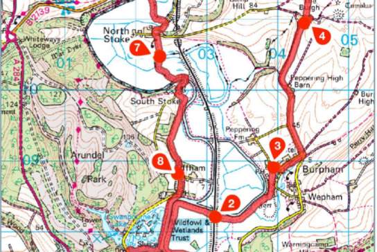
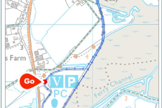
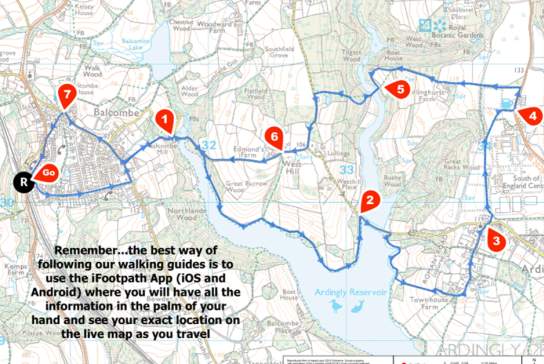
To ensure public safety, walkers can use live 1:25k Ordnance Survey tracking via GPS Routes. This digital tool works directly inside your mobile browser, allowing you to see your exact real-time position on a traditional, highly accurate OS map. This simple technical safeguard ensures you remain firmly on the public footpath, keeping you safe and protecting the beautiful Sussex environment.
For more walks in the area see the Top 10 West Sussex Walks and the Top 10 East Sussex Walks pages.
This guest feature was written by Nick Durgom, founder of GPS Cycle and Walking Routes, a comprehensive UK walking and cycling resource built over the last 20 years, featuring more than 10,000 mapped trails.